
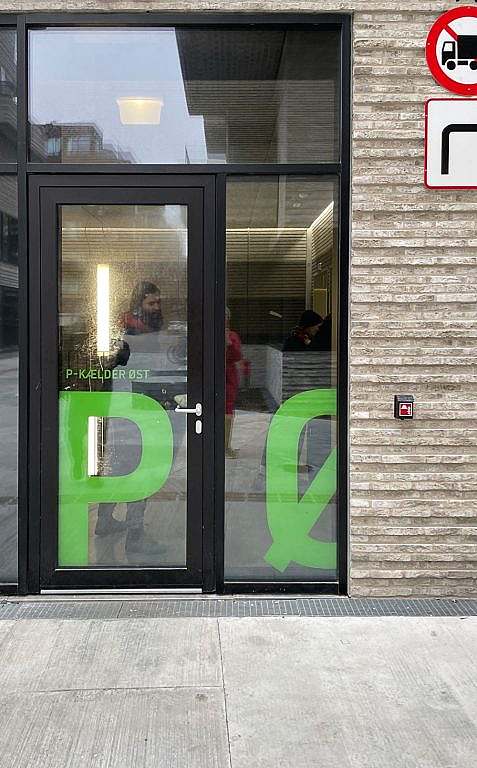
KHR Architecture has helped Udviklingsselskabet By & Havn with a better user experience in the underground car park on Kronløbsøen. The underground car park can accommodate over 1,000 vehicles on four underwater parking decks, and users found it too difficult to navigate the large facility with the existing signage. KHR's wayfinding specialists analysed the problems and developed a new wayfinding strategy and a distinctive signage design to stop people getting lost on Kronløbsøen.
Nordhavn, Copenhagen
Denmark
Development company By & Havn
2023
3300 m2
Heidemann Graphic
Concept and design
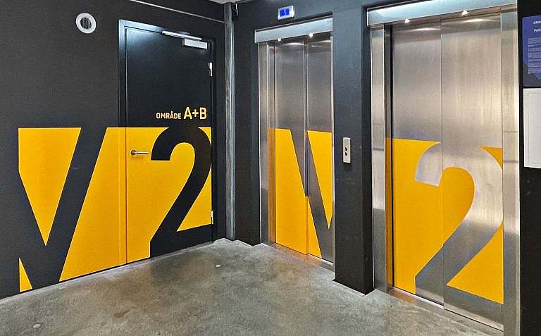
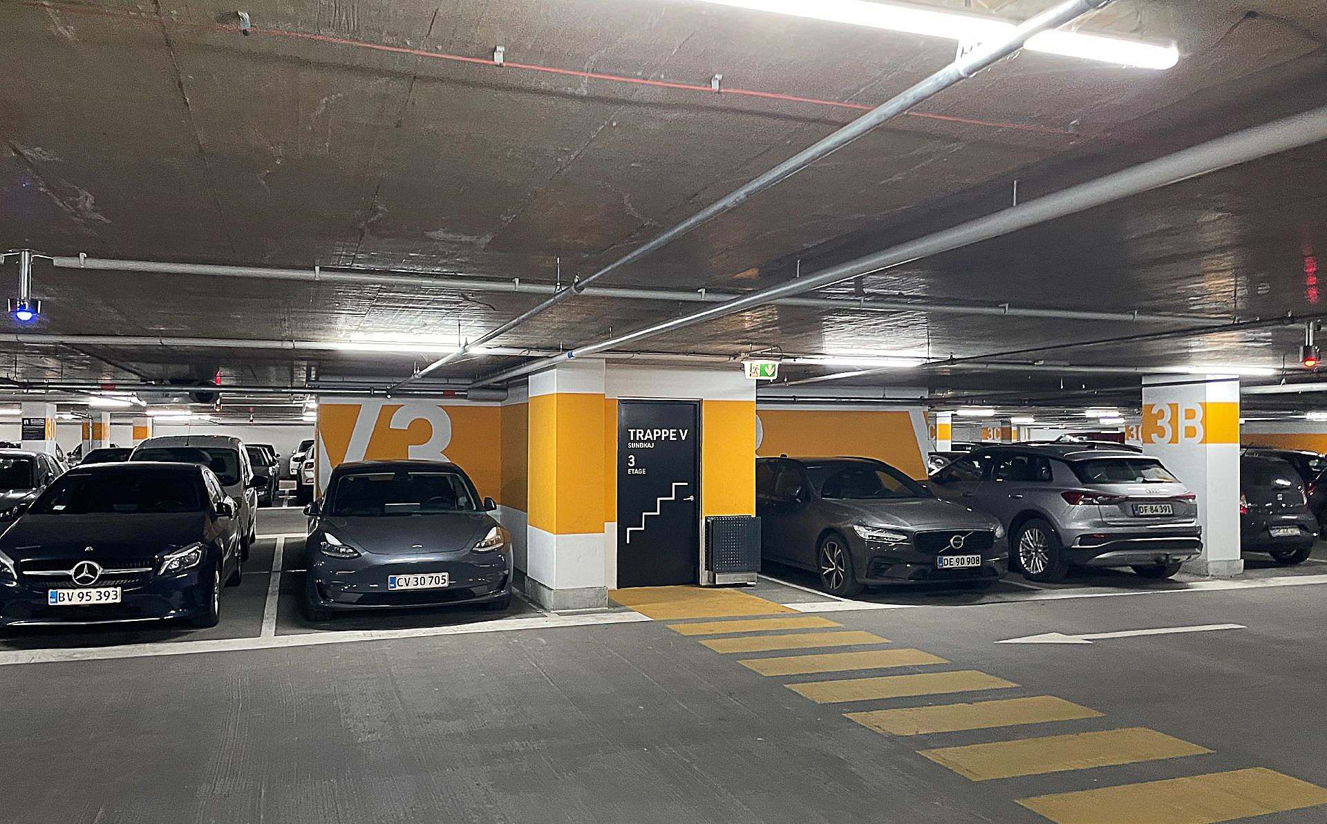
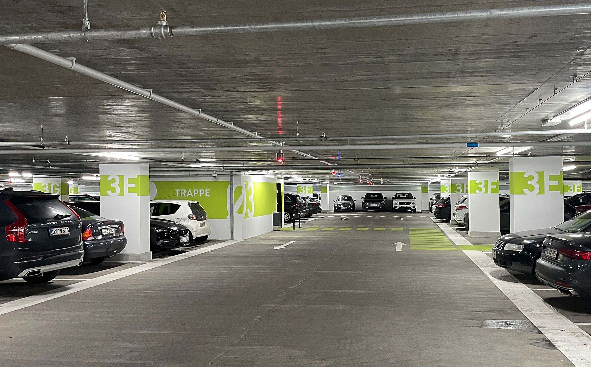
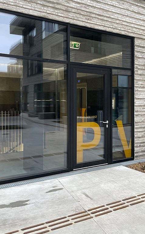
Distinct colours recur above and below ground
The large car park on Kronløbsøen was difficult to navigate, partly because it is divided by a centrally located ramp, which means you can't see the entire car park at once.
This problem is solved by using two distinct colours to mark the two main areas that the ramp helps to create. The colours are also repeated above ground, so you intuitively understand which stair tower or lift you need to use to get to your car.
"Megagraphics are well suited to the scale of a multi-storey car park and car transport. As a side benefit, the graphic wayfinding elements help to liven up the grey basement car park.
A compelling wayfinding concept
The wayfinding concept on Kronløbsøen has been so successful that the City and Port of Copenhagen has asked KHR Architecture to roll out the concept in several other car parks in Copenhagen.
The concept was developed taking into account the City & Port of Copenhagen's design and signage manuals to ensure logical coherence and a common thread in the visual identity.
Wayfinding grips in practice
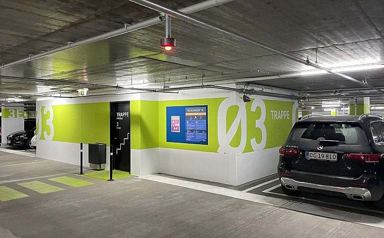
Where are the stairs? Which staircase should I take? Stair cores are highlighted to make it easier to locate and find where each staircase leads.
What floor am I on? Floor numbers are marked on doors, ramp walls and in the carriageway so you always know which floor you are on.
Where do I drive out? Arrow markings are introduced on the carriageway and additional ceiling signage to clearly mark exits.
Where is my car? The car park is zoned with letters within the two main areas
I walk straight up the ramp to get out quickly...
A pedestrian crossing is introduced on the Helsinkigade ramp to avoid dangerous situations with vulnerable road users on the carriageway.
Read more about wayfinding.